The presentation for the co-construction of the 3D spatial information basic environment and data alliance application was a smash hit for the National Center for High-performance Computing (NCHC)
Publicsh Date:2021.10.19
National Applied Research Laboratories (NARLabs) President Wu Kuang-Chong gave a speech to kick off the event. Seven industry, government, academic, and research experts presented on the two themes of "3D Co-construction Application Results" and "Data Alliance Application Results." Dr. Peter Baumann from Jacobs University Bremen in Germany was invited to give an enriching speech via video conference.

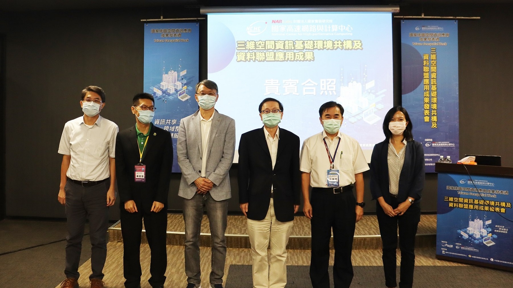
Several senior officials and distinguished guests attended the presentation(from left, Lin Chang-jian, Section Chief of Land Surveying and Mapping Center of the Ministry of the Interior, Huang Jiu-fu, Section Chief of Surveying Division of the Department of Land Affairs of the Ministry of the Interior, Director General Shepherd Shi of NCHC, President Wu Kuang-Chong of Applied Research Laboratories (NARLabs), Hsi Ching Lin Deputy Director General of NCHC, Tseng Yung-yi, Section Chief of Territorial and Regional Islands Development Division of the National Development Council)

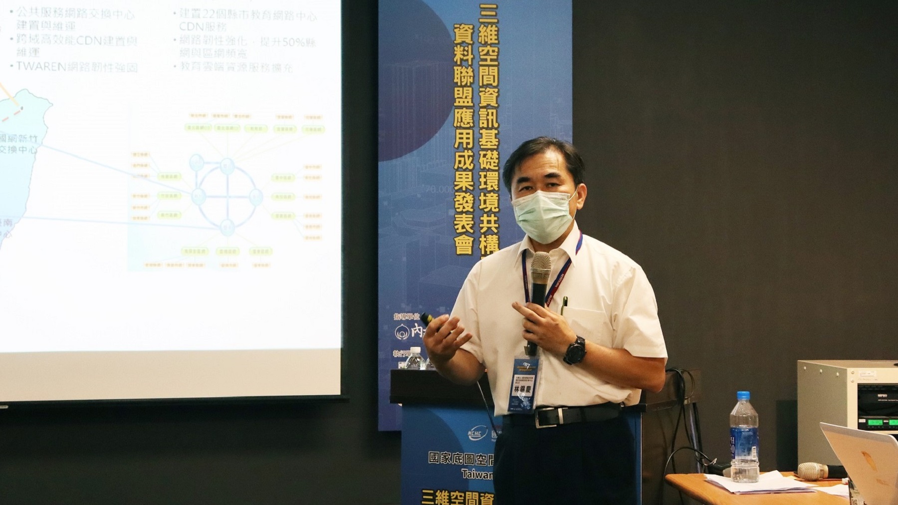
NCHC Deputy Director General Hsi Ching Lin gave the keynote speech, introducing co-construction of the 3D spatial information basic environment and data alliance application
Guided by the idea that "spatial information basic environment constructed and shared together'', NCHC invited collaborating organizations to display actual cases of 3D spatial information integration application and data alliance, the application of which has been far-reaching, including disaster relief information, water conservancy early warning, noise maps, and agricultural and medical analyses. This has also further advanced the development of the three-dimensional space information technology industry in the country, and it helps more people to understand its wide range of applications.
Under the constraints of pandemic prevention measures, the presentations were given in a physical gathering as well as through live broadcast on the channel "Taiwan Geospatial Week" on Youtube. During the QA forum, the VIPs and online participants all asked questions and shared with each other enthusiastically in the lively and engaging discussions.
Scenes at the presentation
To strengthen the transmission efficiency and resilience of the national public service network, the National Center for High-performance Computing (NCHC) was the first to bring in advanced network transmission technology and smart network management. On the foundation cloud application framework, the NCHC has planned to establish the co-construction of the basic environment for the nation's three-dimensional spatial information, to strengthen the data integration, analysis, and display applications of public-sector multi-dimensional spatial map, to lower the threshold of software and hardware construction, and to improve the efficiency of the circulation of map resources.
Through activities of "presentation for the co-construction of the 3D spatial information basic environment and data alliance application", the NCHC also showed the public that it has big plans for and is committed to the field of space information technology applications. It is hoped that the NCHC may continue to lead the domestic GIS industry towards the integration of cross-domain data in the future and expand the service of its applications.
 國家高速網路與計算中心
